Map Navigation
This section explains how to use the interactive map window within the control applications.
The map displays the current position of the drone in real time and allows you to mark waypoints for navigation.
Before proceeding, make sure the application is properly installed and configured.
If setup has not been completed yet, refer to the following guide: Setting Up Control
When the desktop version of the drone control application is launched, an icon appears in the system tray alongside the main video feed window.
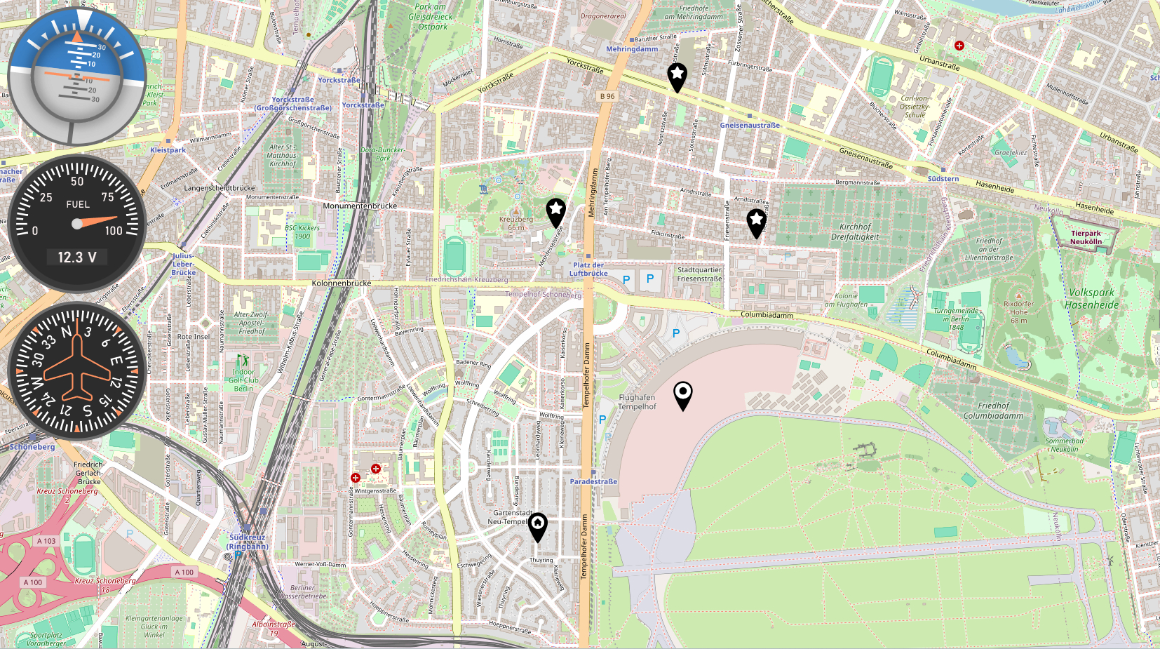
Right-clicking this icon and selecting Map opens the Navigation Map browser window, which displays the drone’s current position based on GPS sensor data.
In the top-left corner of the map window, three widgets are shown:
- Pitch, Roll, Yaw indicators, along with an artificial horizon level
- Battery status and current voltage
- Drone heading based on the compass
Waypoint Interaction
Waypoints can be added, modified, and removed directly on the map:
- Left-click on an empty area to add a new waypoint of type Point of Interest.
- Clicking on an existing Point of Interest will toggle its type to Home. The icon will update to display a house symbol.
- Clicking again on a Home waypoint will remove it from the map.
All waypoint changes are instantly reflected in the video stream OSD, both in the waypoint list with distances and on the compass overlay, which provides directional targeting.